The Nebraska Bays
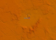
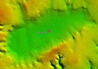
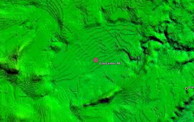
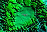
While there is a great deal of research covering the "Carolina bays" on the eastern seaboard of the US, little attention has been paid to the significant quantity of oval-shaped landforms in the eastern areas of Nebraska. These, too, are aligned with each other. Significantly, the inferred alignment is considerably different from that of the background predominate-wind orientation of the extensive sand dunes in the area. Our interpretation is that the "inferred alignment" of all the Nebraskan bays we have identified are aligned towards the Saginaw impact site, and are correlated to a high degree using the Bearing Calculator tool.
While not nearly as extensive as those in the East, we hold the identification of these bays to be critical to the impact site triangulation process, as contrasted with their eastern-US brethren. A relationship between the Rainwater Basins of Nebraska and the Carolina bays was first described by William Zanner (GSA Annual Meeting, 2001). George Howard was the first to web-publish high resolution LiDAR images of bays in Nebraska.
We speculate that the bay depressions were created upon ejecta deposition sometime prior to 27 kya. Since that time a significant blanket of late Wisconsin glacial loess have been deposited, rounding off the sharp edges of the bay rims, In some ares local dunes have breached the landforms, but the underling structure continues to show through.
The Nebraska Department of Natural Resources (NE-DNR) has released high-resolution LiDAR datum for much of the southern areas of the state. In 2011 we leveraged these data for better quality images and for the location of additional bays that did not appear on the USGS 1-3 arc second data originally used here. The new survey data can be seen in the bayWest subset of the Carolina Bay Survey.
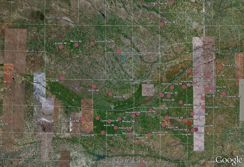
Extent of identified Nebraska bays
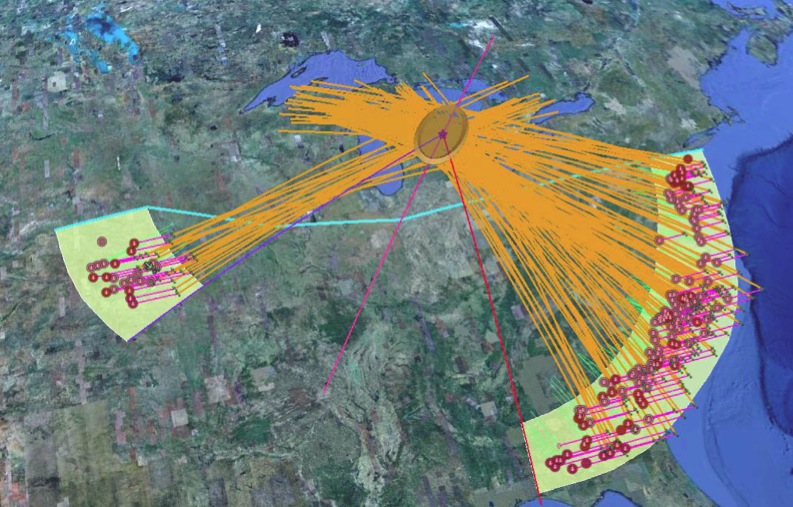
Correlation of Nebraska bays with Carolina bays & Saginaw Impact
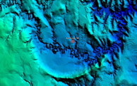
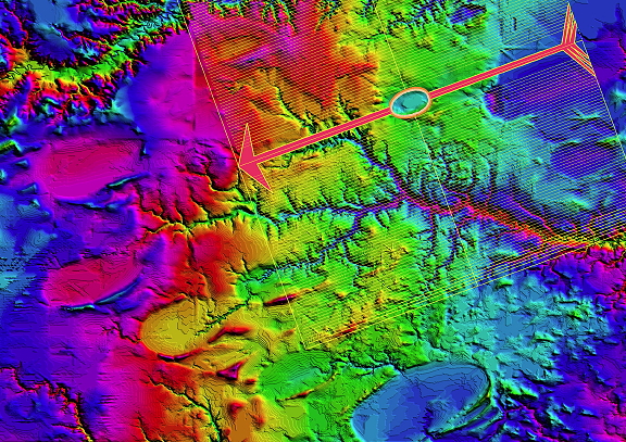
Here is a HSV-shader map of the Clay Center area. The image is linked to a higher resolution version.
Our use of elevation data includes the generation of "elevation profiles", which attempt to relate the disparate altitudes of bays in a region. We interpret this to be an effect of the "blanket" draping over previous landscapes. Here is an example of the Genera, NE region. Bay floor elevations range from 535 MASL to 495 MASL over a distance of 32 miles. As is the case in the east, the deposition of basins is seen on a continuum without regard to elevation. This correlates with our blanket hypothesis, as the ejecta layer is spread across existing terrain.
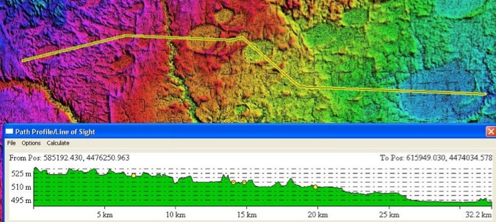
Geneva Region, NE rainwater Basins Elevation Profile
The bays are not very deep, of course. The color ramp DEM images are run with a 10:1 elevation exaggeration. Here is are elevation profiles across one of the Garfield, NE bays. We interpret the placement of the bays as being indicative of them being "pedestals" landforms, which owe their existence to the bowl-shaped interior's capability of retaining moisture. Over the millennia since their emplacement, the majority of the ejecta blanket has been subjected to wind and water erosion, whereas these have been stabilized. The analogy is that of tire tracks in snow, outlasting the surrounding snow, rising above the road surface. A similar process is implicated in the pedestal craters on Mars. Numerous landforms in nearby areas suggest they were at one time 'bays", but have been compromised by encroaching erosion. Such a fate is likely in the future for the Garfield Township bay shown below, which is beginning to be invaded by a stream.
http://digitalcommons.unl.edu/cgi/viewcontent.cgi?article=1156&context=greatplainsresearch
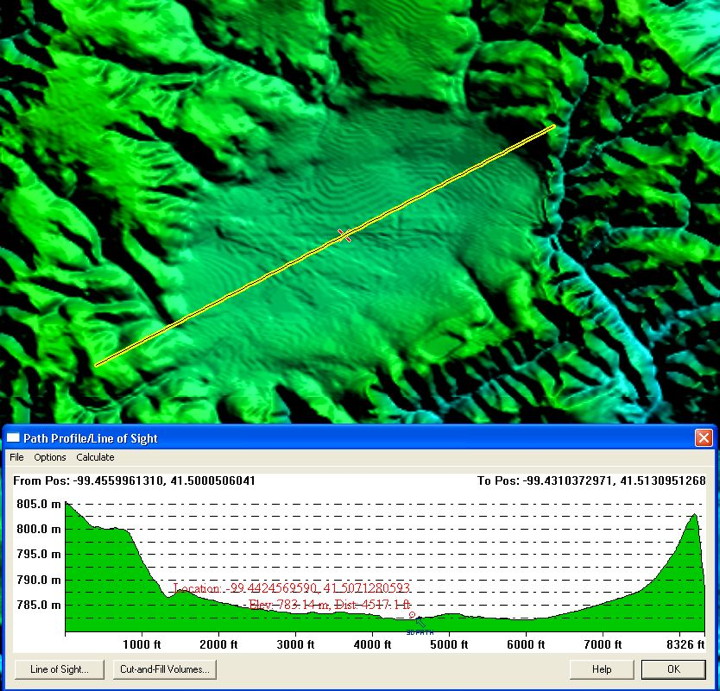
Garfield Township, NE West-to-East elevation profile
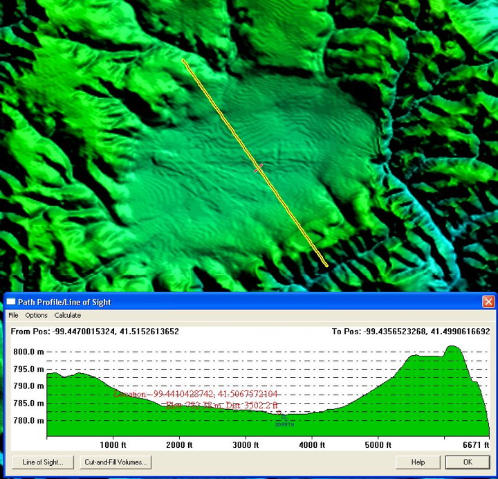
Garfield Township, NE North-to-South elevation profile
Over-printing sand dunes and ridges are commonly found across the Nebraska landscape. We speculate that much of the sand in the Nebraska Sand Hills was originally deposited as distal ejecta during the Saginaw Manifold. An area near Edgar, NE, shows the dune activity.
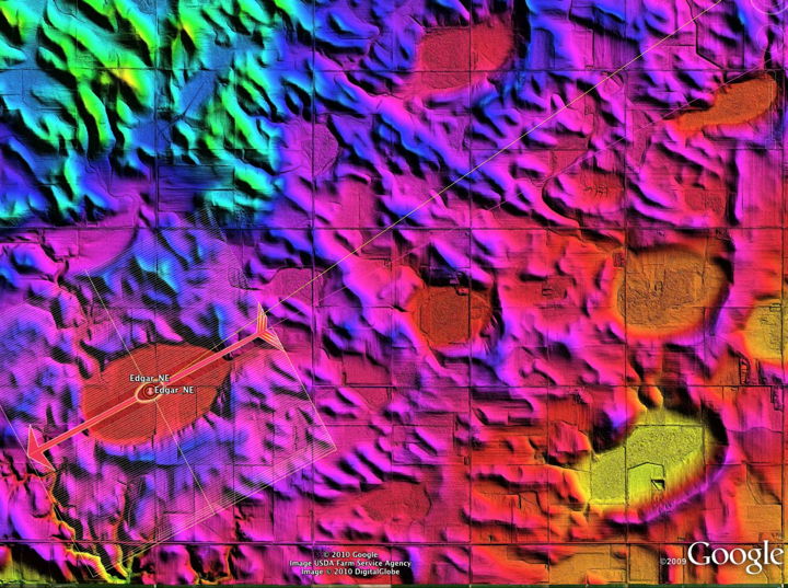
Edgar, NE with overprinting dune activity shown
The Wikipedia entry for the Rainwater Basins recognizes the underlying ancestral basins beneath the loess.
The Rainwater basins are the surface expression of elliptical depressions developed in fluvial sands and gravels buried by a blanket of several meter-thick loess. These basins are palimpsest landforms created by the draping of a younger loess blanket over these underlying depressions (Zanner and Kuzila 2001). The loess, which overlies these features, contains an intact sequence, from bottom to top, of Middle Wisconsinan Gilman Canyon Formation, Late Wisconsin Peoria Loess, Brady Soil, Holocene Bignell loess resting upon a Late Illinoian Sangamon Soil developed in the fluvial sand and gravels in which these depressions have developed[1] The intact layering of these different losses and associated paleosols, which are each called “soil” by Zanner et al. (2007), prove that the loess has not been disturbed since it started accumulating over 27,000 years ago. Thus, these buried elliptical depressions are over 27,000 years old
Zanner, C. W., W. Dort, Jr., and S. R. Bozarth, 2007, Holocene Bognell Loess Chronology. Stratigraphy and paleoenvironmental reconstructions from within a loess table, Southwestern, Nebraska. Geological Society of America Abstracts with Programs, v. 39, no. 3, pp. 73.
Eroded Loess Revels Ancestral Rims
The Nebraskan bays have been overlain by many meters of late Wisconsin loess, rounding off the edge of their rims. In the Campbell area, there are two bays that have been eroded at one end by a stream, which removed the loess and exposes some of the original rim. This site would be an excellent candidate for additional ground research.
The Google Earth Embedded Viewer below offers a visualization of the situation, using a color-ramp image created with Nebraska DNR LiDAR data.
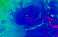
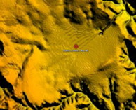
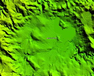
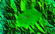
We have created Google Earth kml elements to explore ~40 fields dispersed across eastern Nebraska, and an additional 2 in Northern Kansas. The use of USGS-provided digital elevation maps (DEM) of the area has allowed for this identification, as the characteristic shape and orientations are rarely seen or identified on the ground or in satellite imagery. Much effort has been extended to identify these areas, and the process continues across the expected ejecta ring areas. Our failure to locate more bays to the North or South of the Nebraska bays is considered to be attributable to the rough terrain in Kansas, as well as the glacial cover present at the time from South Dakota northward.
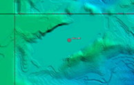
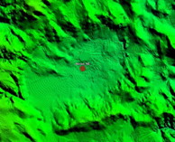
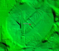
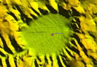
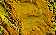
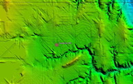
Please reference the support pages in the left-margin index to view details of ~40 fields. For quick comparison, close-ups of a representative bay from those 14 fields are shown in the sidebar to left. A Google Earth KML file that indexes all the currently catalogued Nebraska bay fields is available by this link:


