
This is a collection of Keyhole Markup Language (KML) files for use within the Google Earth GIS Viewer.
Contains placemarks for ~70 USGS 1º x 1º quadrants being searched for bays
Model-generated set of kml elements describing the walk-back from Carolina bay fields to the proposed crater site
Model-generated set of kml elements describing the predicted orientation at each of the evaluated Carolina bay fields.
KML elements discribing the proposed Saginaw Crater area
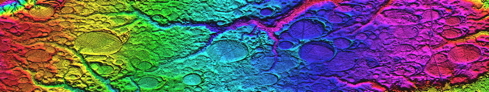
Contains a number of overlay graphics highlighting features of the Saginaw Region of interest in this research