


This quad is partially covered in high quality LiDAR.
The kml image is linked to the bay survey for view in Google Earth:
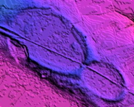
Pee Dee River Dam? (linked to high resolution version)
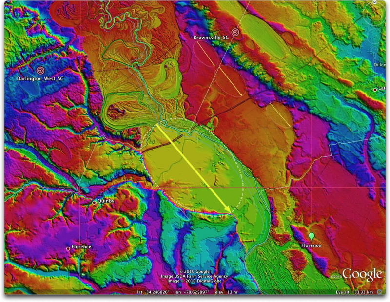
This graphic DEM dipicts the state of the Pee Dee River Valley in the area east of Quinby, SC. At some time in the past, the river created a tortured series of meanders, oxbows and relic channels as it struggled across a narrowing of the channel at 34.3, -79.6.
Coincidentally (?), this location marks the NW end of a large "Carolina bay" planform basin, aligned similarly to all the other bays in the area.
Could the "arrival" of my proposed ejecta blanket of sand created a bay, whose NW rim dammed the Pee Dee at that point? If so, perhaps the Pee Dee backed up, forming a large lake, which quicly filled in with sediment. As the river finaly crested the bay rim "dam", the meandering began as the river cut through the recently-deposited sediments upstream.
If there were any truth to this hypothesis, the upriver sedimentary record might well provide a record for the timing of the event.