
Interactions of Carolina bays with Sand Dunes
The LiDAR imagery of the East Coast offers many instances where Carolina bay landforms interact and intermingle with surficial sand dunes and dune fields. One question raised is: which came first? In many instances, the sand dunes look to be overriding the bays, suggesting the bays were in place prior to the advent of the dune development. In other cases, the bays seem to exist as cuts-outs in the dune field, as if they had been created after the dune field became inactive.
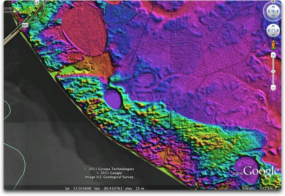
Dune fields arising from the broad channels of the major rivers are common. In our first example, the large bay is being in-filled by the dunes. The small bay it the lower left along the shoreline is seemingly unaffected.

In the Google-Earth formatted LiDAR image below, the Santee River, and the man-made Lake Marion which occupies its channel at present, pass west of a dune field. Contained in the field are several well-formed Carolina bays.
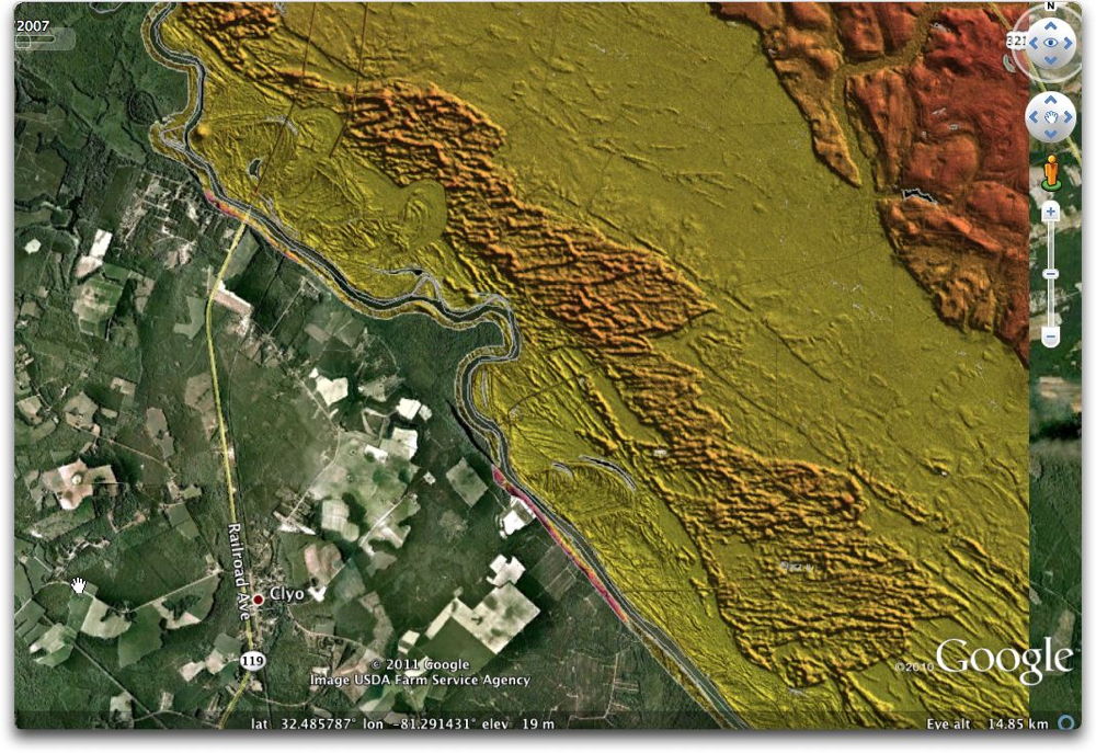
To the South, along the eastern shore of the Savanna River in Jasper County, SC, a similar dune field developed, but with no Carolina bays in sight.