


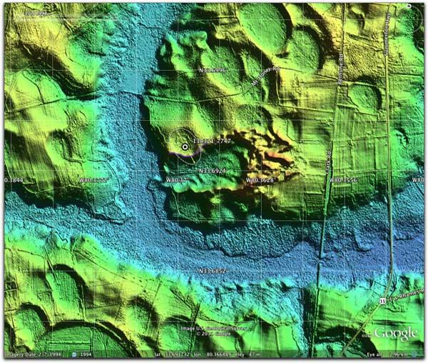
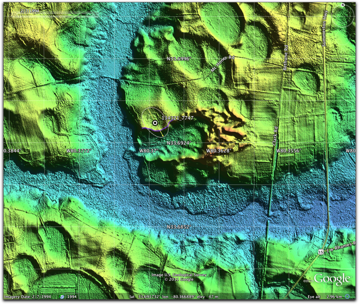
Truncated Clark Bay, Paxville, SC
This bay has come to our attention due to the strong possibility that its rim may be exposed for inspection due to a historical mining operation. Each image’s caption is linked to a higher resolution version. We feel this would be a viable location to explore a bay in cross-section.
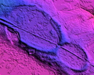
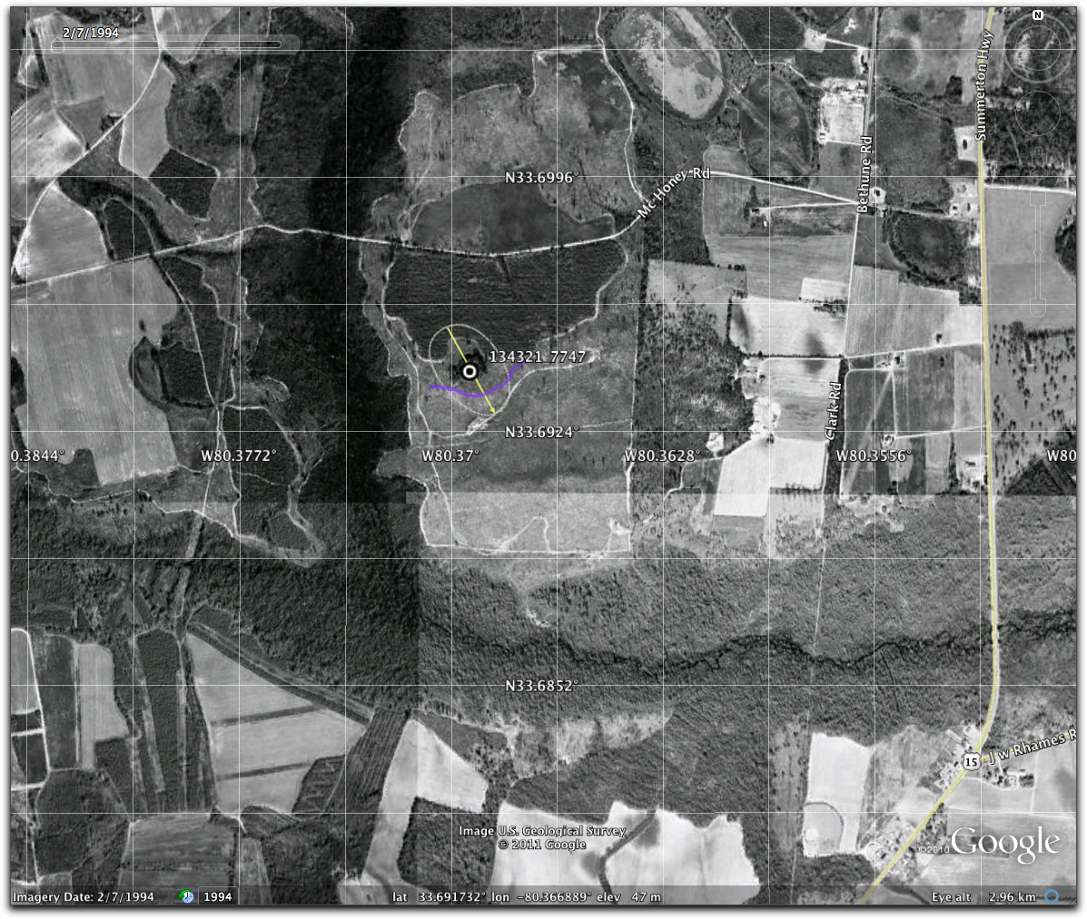
The first image shows the 1/9 arc second LiDAR imagery from our survey. The “KML” link will provide you with the necessary metadata to view this mash-up in Google Earth.
LiDAR
The Elevation Profile suggest that upwards of 5 meters of bay rim vertical cross-section might be available.

Elevation Profile
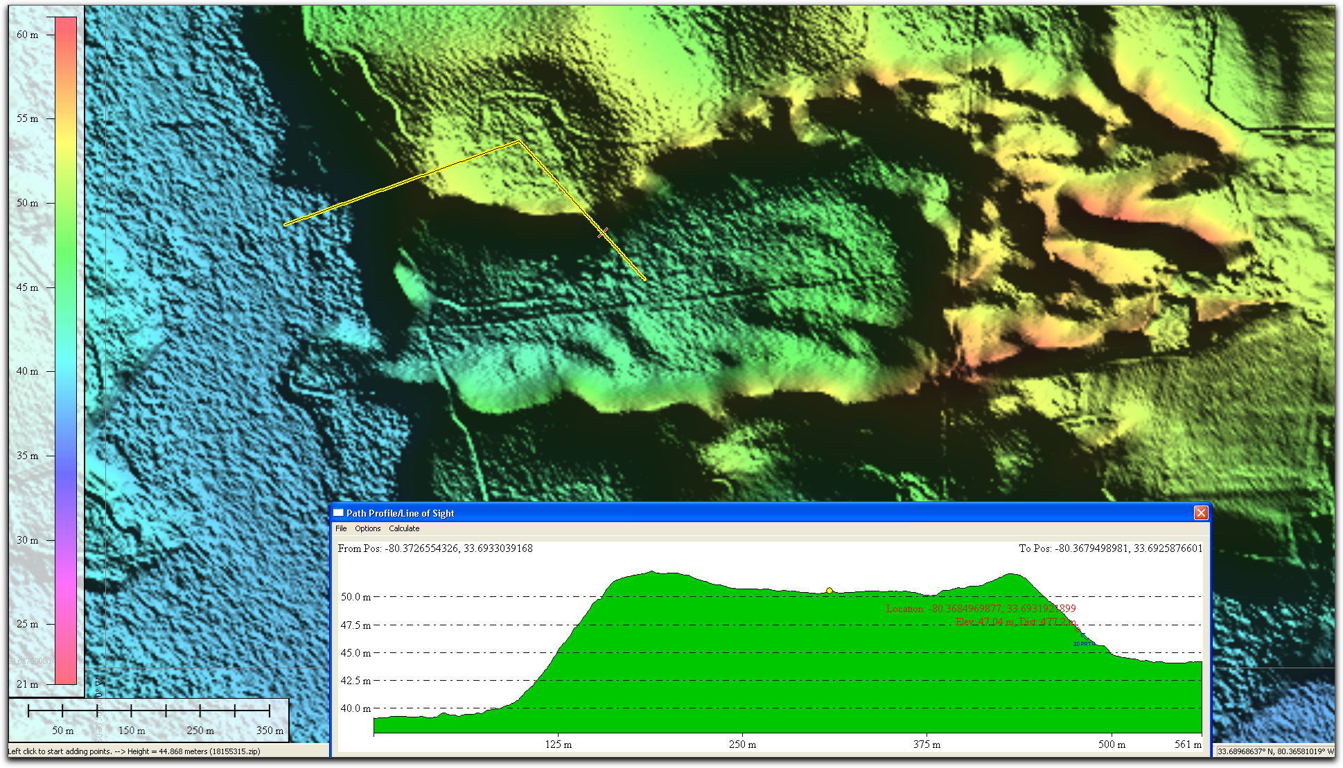
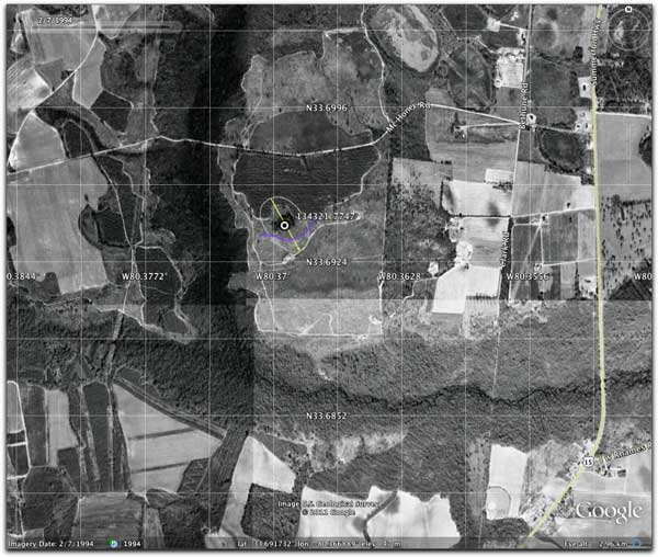
Historical Satellite Imagery (1994)
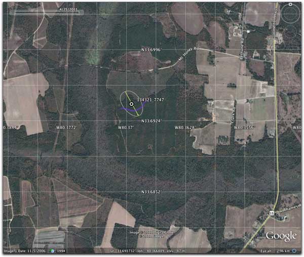
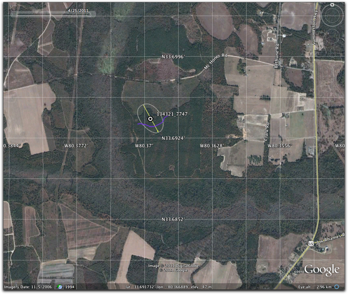
Current Satellite Imagery (2011)
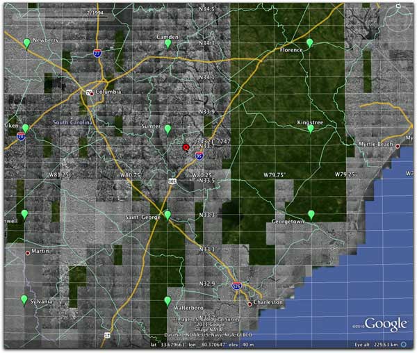
Overview Map of the Area
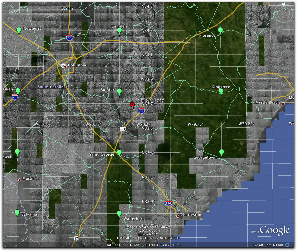
Link to KML data: