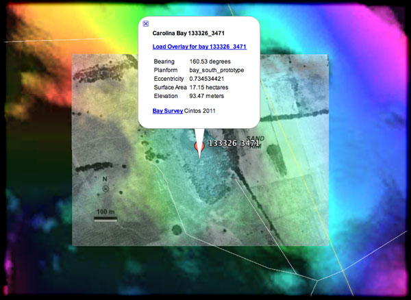
Flamingo Bay in Savannah River National Forest, SC
Here is an interesting mash-up of historical imagery by way of 3 images: an old aerial photograph, a current Google Earth view, and high-resolution hsv-shaded Digital Elevation Map.

The LINKED kmz file contains the elements to view this in Google Earth.
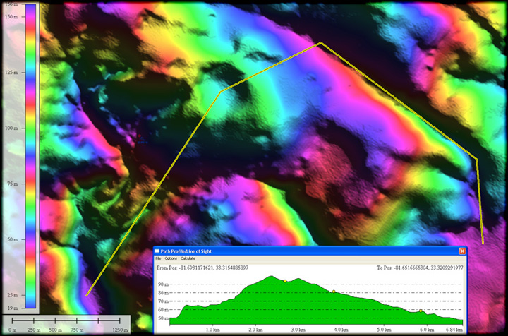
In a Global Mapper elevation profile map, we see just how “perched” this bay is. We see this scenario quite often across the Piedmont. The bays are only found on fairly level ground, and that is typically only found on hill tops. We interpret this elevation anomaly as supportive of the distal ejecta hypothesis, as those are unlikely locations for basins - unless the hill is a volcano!
This particular bay has been well-researched by others, and certainly defines the existence of Carolina bay formations above the fall line.


