Jacks Bay, SC
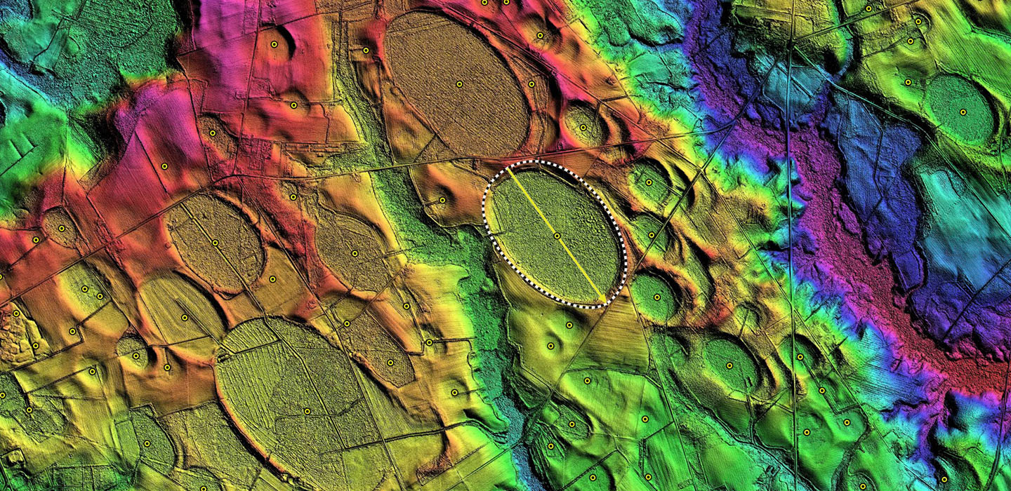
While Jacks Bay has been ditched and drained by man, it's southeastern tip looks to have been breached naturally at some time in the past, as evidenced by a 1 kilometer stretch of a natural-looking (in the LiDAR) stream bed. That bed is a continuation of Jacks Branch channel which extends southward across a smaller bay and out to Lake Swamp channel. The bays have either been present long enough for those channels to develop into and through the bays, or the bays were created over antecedent drainage, which survived their genesis.
It hosts numerous agricultural fields, along with a rail right-of-way and the passing of Interstate 20 across its southeastern rim tip.
It hosts numerous agricultural fields, along with a rail right-of-way and the passing of Interstate 20 across its southeastern rim tip.
- Index #: 136319_8694
- Location: 34.215731320391114,-79.9869483434836
- Major: 2.92 km . . . Minor: 1.62 km
- Eccentricity: 0.83
- Area: 374.34 hectares
- Bearing: 141.46º
- Elevation: 50.32 m
- Planform: bayCarolina
- Effective Diameter: 2,183.171 m
-
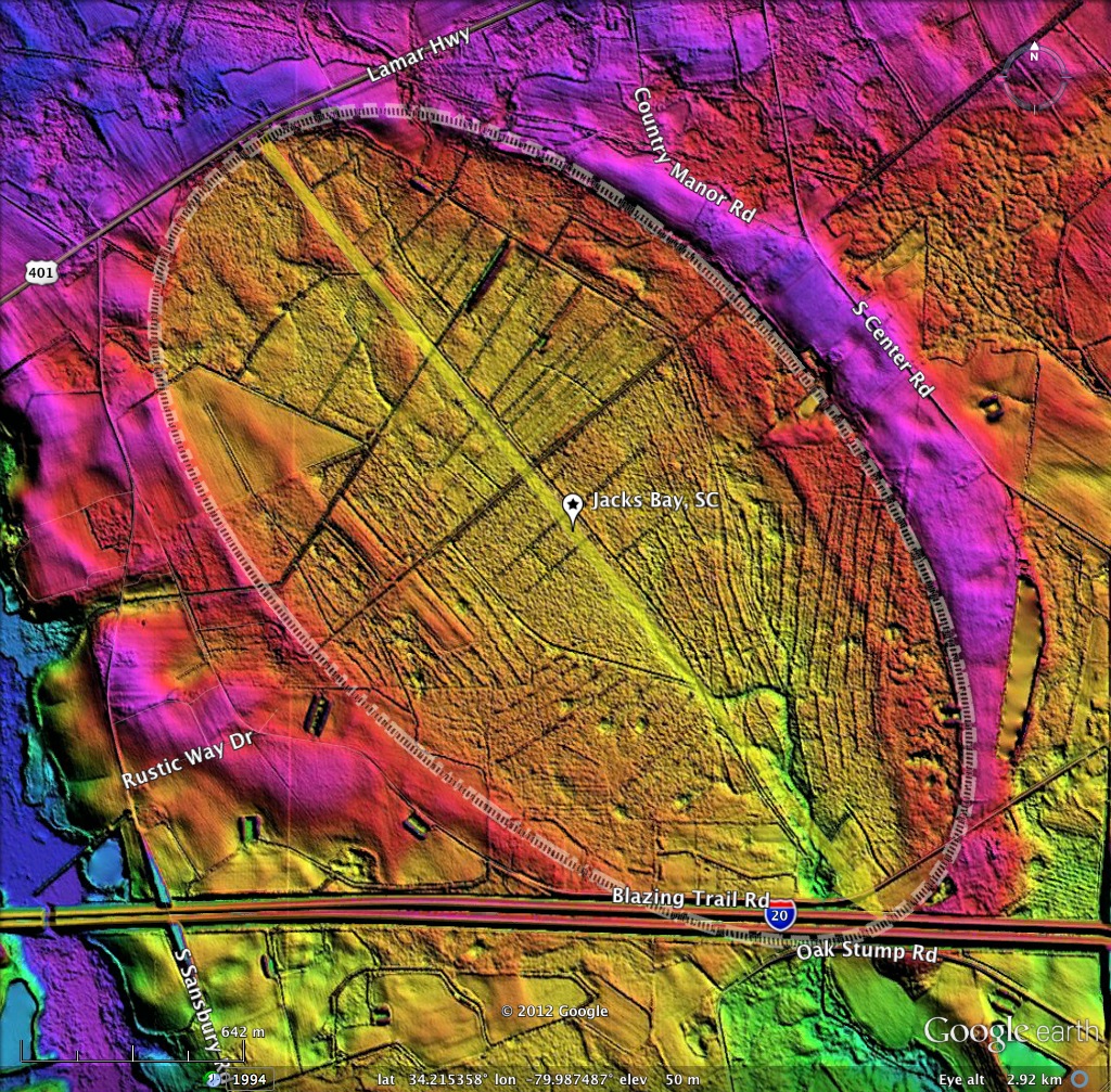
Jacks Bay, SC LiDAR elevation map and bay planform as overlays on Google Earth
-
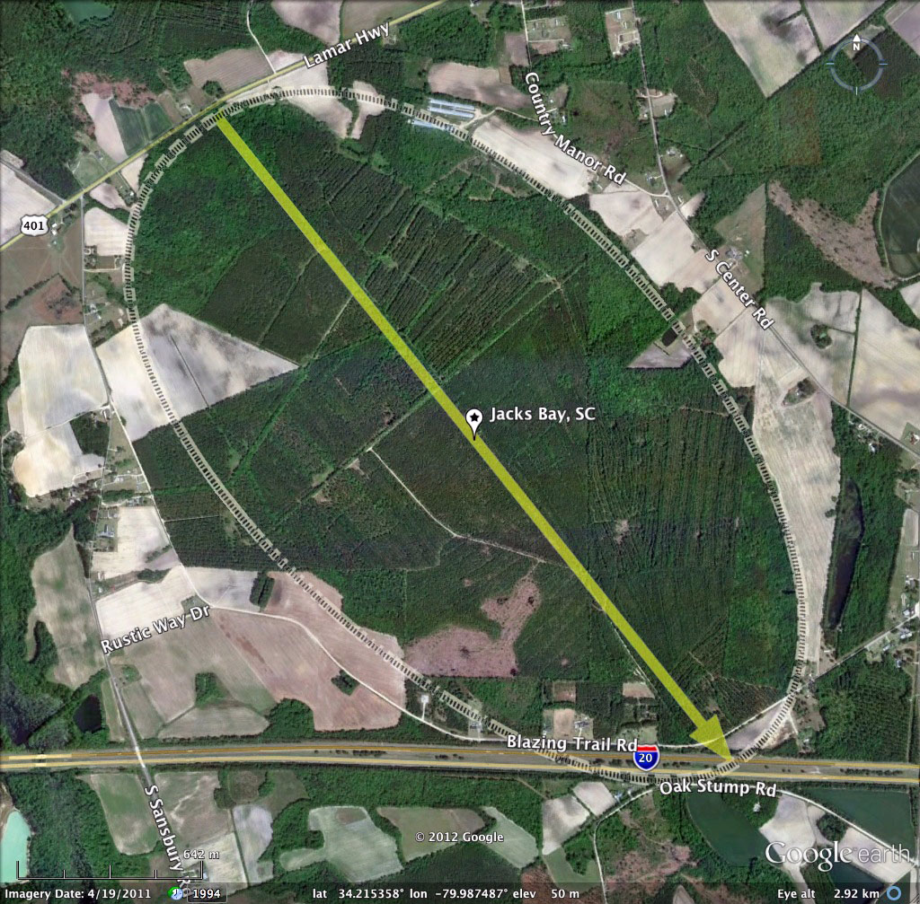
Jacks Bay, SC 2011 Google Earth Satellite Imagery
-
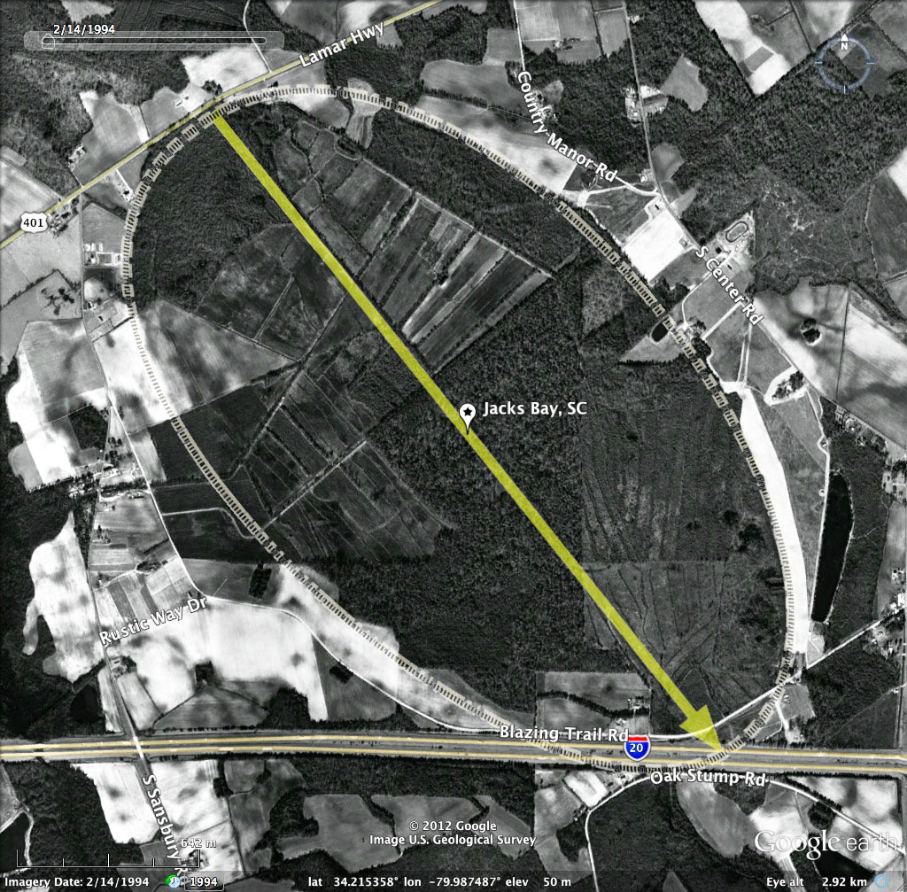
Jacks Bay, SC 1994 Google Historic Imagery
-
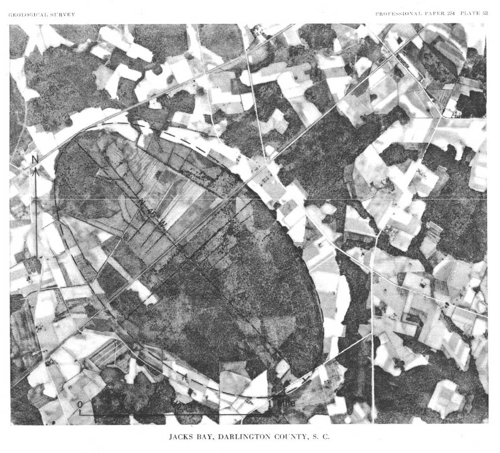
Jacks Bay, SC Historical Aerial Photo USGS paper254
-
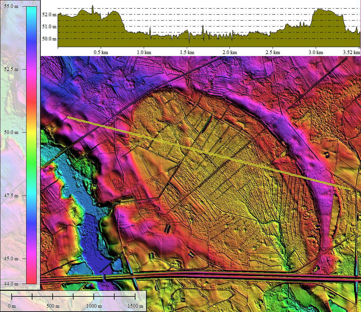
Jacks Bay, SC LiDAR DEM with elevation profile along yellow transect. Created in Global Mapper
-
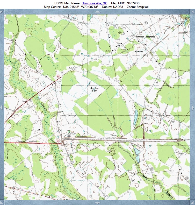
Jacks Bay, SC USGS Topographic Map, sourced from TopoQuest
Copyright 2018 by Michael Davias