
The Bays of Kansas
While there is a great deal of research covering the "Carolina bays" on the eastern seaboard of the US, little attention has been paid to the significant quantity of oval-shaped landforms in the south-western areas of Kansas. These, too, are aligned with each other. Significantly, the inferred alignment is considerably different than that of the background predominate-wind orientation of the extensive sand dunes in the area. Local geologists refer to these landforms as "playas", and no comparison seems to have been made to the Nebraskan Rainwater Basins.
While not nearly as extensive as those in the East, we hold the identification of these bays to be critical to the impact site triangulation process, as contrasted with their eastern-US brethren.
We speculate that the bay depressions were created upon ejecta deposition curica 800 kya. Since that time numerous blankets of glacial loess have been deposited, rounding off the sharp edges of the bay rims, In some ares local dunes have breached the landforms, and may have resulted in the clockwise rotation of the bay seen vs the expected. Our interpretation is that the "inferred alignment" of all the Kansas bays we have identified are aligned towards the Saginaw impact site, although a subset of them does not correlated to a high degree using the Bearing Calculator tool. In those instances, we see a clockwise rotation of ~13 degrees from our bearing calculator prediction.
At the present time, only 1/3 arc-second DEM data is available from satellite measurements. We look forward to reviewing these planforms in high definition LiDAR 1/9 arc-second, where the fine details of the underlying structure may show itself through the overburden with more fidelity.
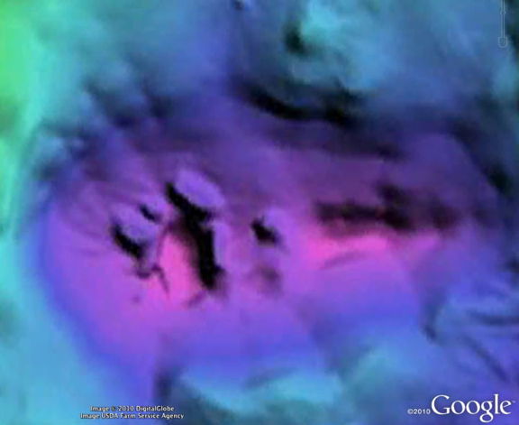
Here is the setting for the challenging orientations. The locale is the Pleasant Valley Township, just east of Scott City, KS. The top three bays do not correlate (by the 13º value) while the bay in the center, located a bit to the east, correlates better. The aggressive dune activity, extending north to south, is evident.
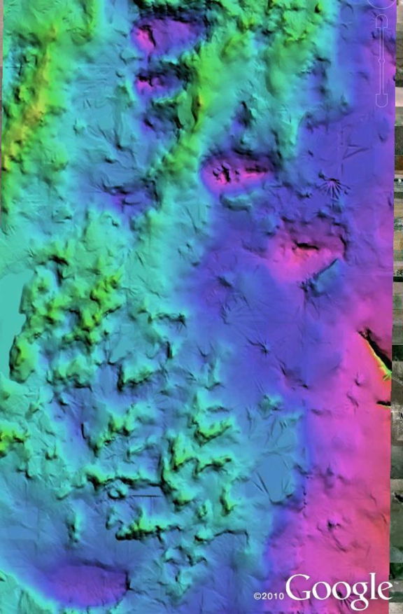
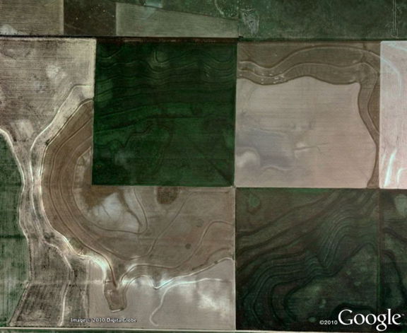
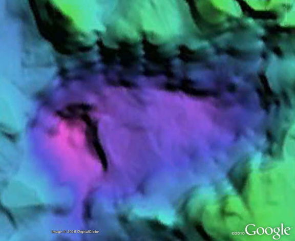
We present the Google Earth imagery and a 1/3 arc second DEM color-ramp image created in Global Mapper, for comparisons.
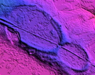
Here is another pair from a bay in the first image.
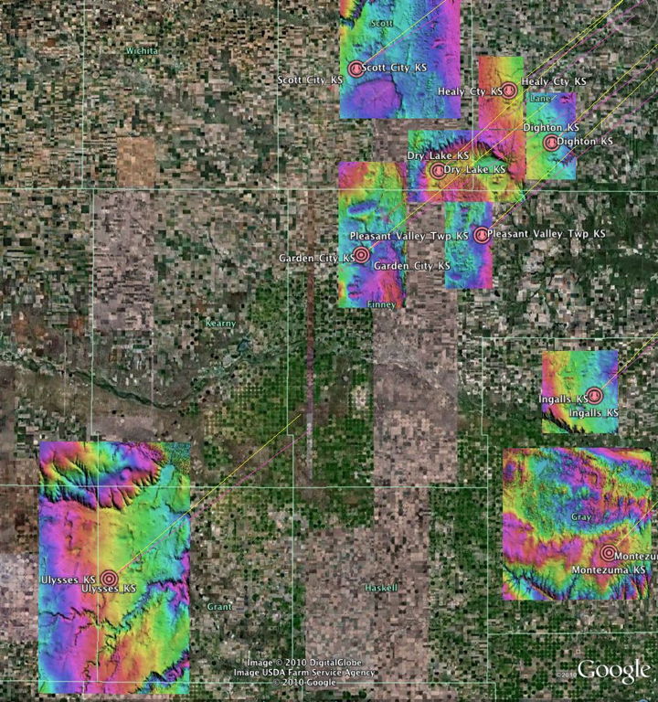
Google Earth can be used to review all the Kansas bays using LiDAR images as overlays. The graphic below shows the extent of bays researched in South-Western Kansas. The KML can be retreived using the link: