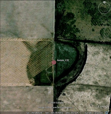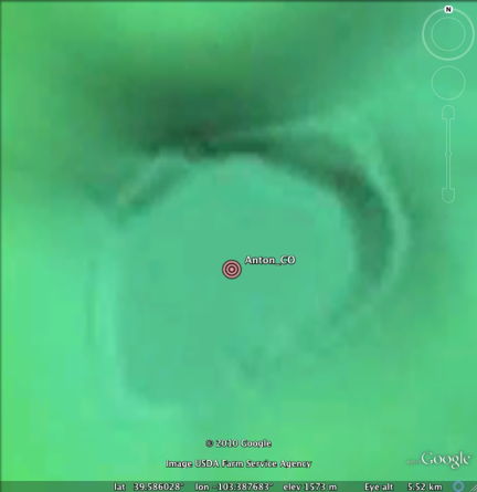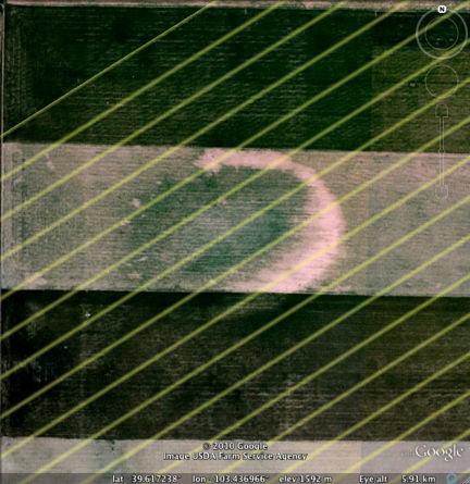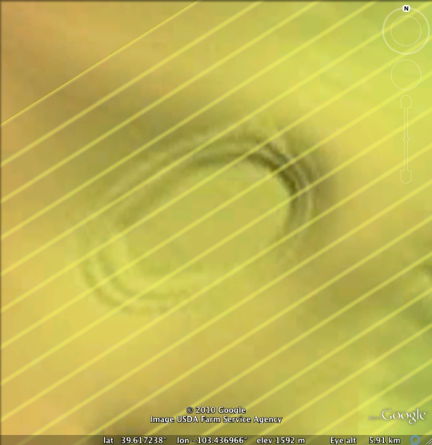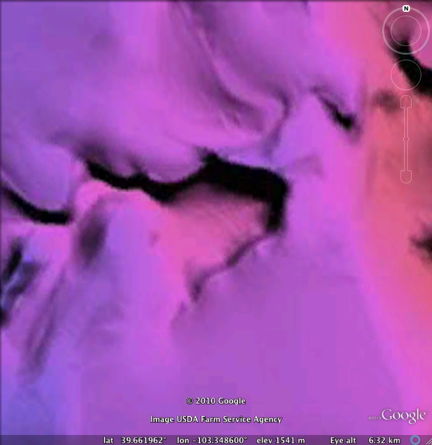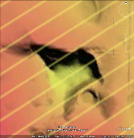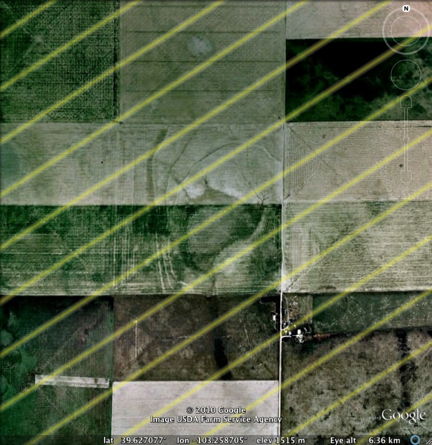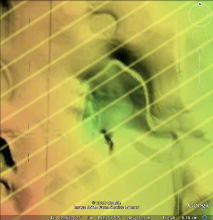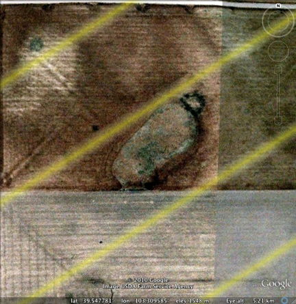

Colorado bays
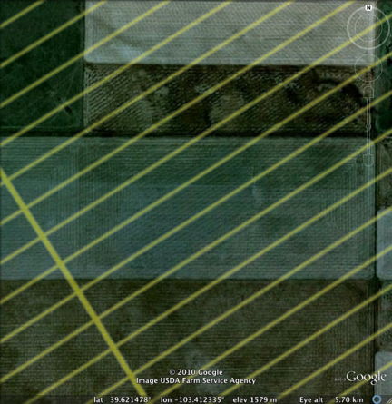
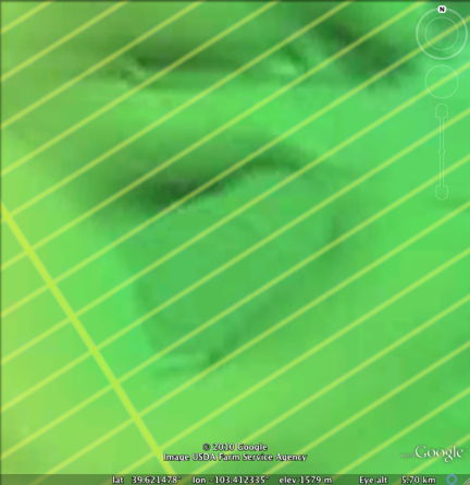
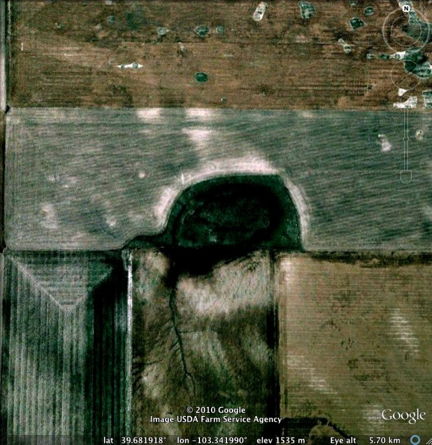
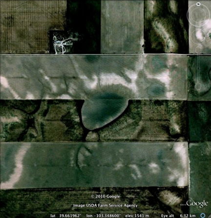
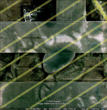
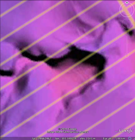
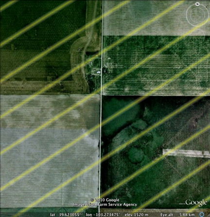
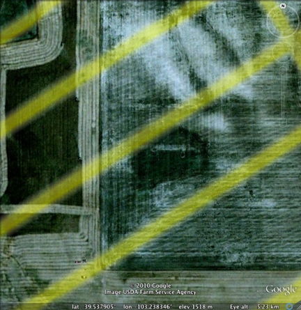
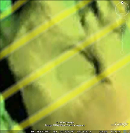
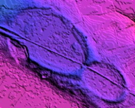
The high plains of North-Eastern Colorado is peppered with small aligned basins, similar in presentation to those of Nebraska. We again assume the original basins have been overlain by a thick blanket of late Wisconsinian loess. The orientations correlate well with the Saginaw crater. The USGS only provides 1/3 arc-second DEM data, so the level of detail is low. In spite of this, the basins are readily apparent, if a bit poorly defined. The Google Earth imagery is quite helpful here, as it led to their discovery, and as can be see below, do help define the orientation and confirm the "Carolina bay" planform.
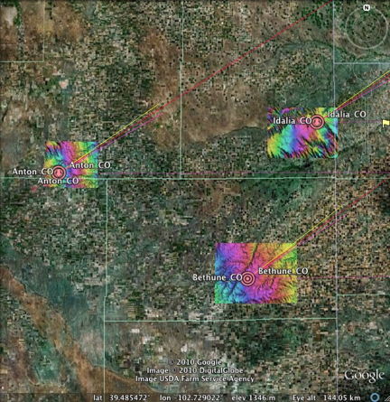
The overlay yellow lines represent the Bearing Calculator's prediction of bay orientation in this area.